ROW · EASEMENTS
CoopLand
Easements, right-of-way and landowner records mapped to your system, so you never lose an easement, a document or a landowner conversation again.
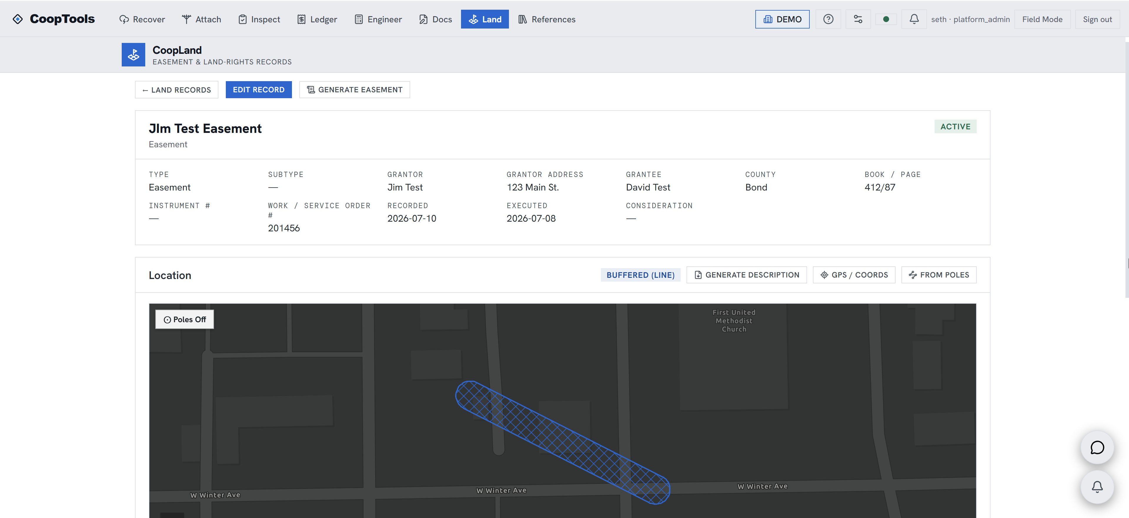
Easements, right-of-way and landowner records mapped to your system, so you never lose an easement, a document or a landowner conversation again.
Ask a co-op where its easements are and the honest answer is usually: some in a file cabinet, some at the courthouse, some in the notebook of an employee who retired in 2005. CoopLand puts easements, ROW permits, crossing agreements and landowner records on the map, tied to the parcels and facilities they cover.
Every landowner contact keeps its conversation history, every parcel keeps its documents, and the whole thing connects to your poles and permits. This means the next line extension or re-route starts with knowledge of easements instead of a records hunt.
New right-of-way gets captured where it is: a user walks the centerline or boundary with their device, or with an external survey-grade GNSS receiver when centimeter accuracy matters, and every captured point keeps its accuracy and source. The record turns that geometry into a metes-and-bounds description and a map exhibit, so the description in the easement matches the line on the ground.
Tell us what your cooperative needs, and we'll set up a pilot on your own data, no obligation.
Request a pilot→